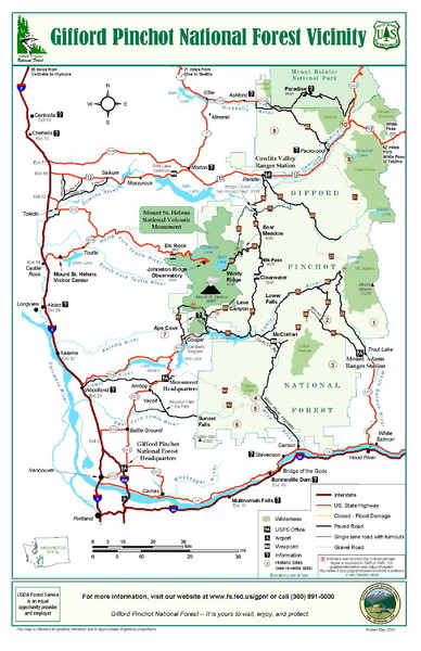
Gifford Pinchot National Forest Vicinity Map
near Gifford Pinchot National Forest, Wa
View Location
Gifford Pinchot National Forest and surrounding areas including Mt. St Helens.
See more
 See more
Nearby Maps

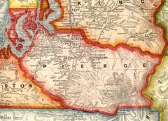
Pierce County Washington Map, 1909 Map
14 miles away
Near Tacoma Wa

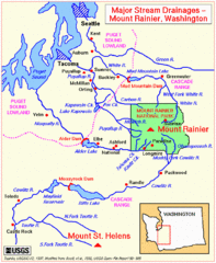
Mount Rainier Major Stream Drainages Map
14 miles away

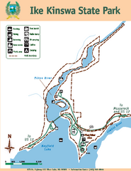
Ike Kinswa State Park Map
Map of park with detail of trails and recreation zones
18 miles away
Near Ike Kinswa State Park, WA

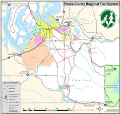
Pierce County Regional Trail Map
County-wide system of trails
23 miles away
Near Pierce County, WA, USA

Mount Rainier Paradise Climbing Route map
Map shows all hiking and climbing routes originating from Paradise at 5,400 ft.
25 miles away
Near Mount Rainier National Park, WA

Mt. Rainier 3D Print Map
This is a 3D-printed map of the cone of Mt. Rainier in Washington, USA, including Liberty Cap, many...
25 miles away
Near Mt Rainier, Washington

 click for
 Fullsize


0 Comments
New comments have been temporarily disabled.