Edit this map

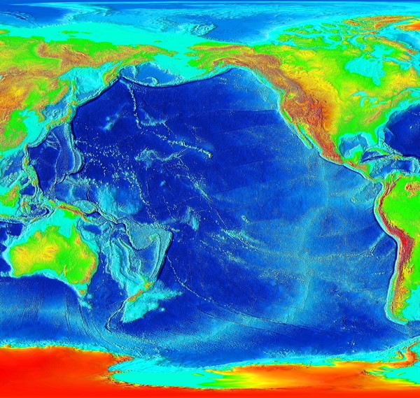
Pacific Elevation Map

near Pacific Ocean

View LocationView Map

-34.047863 -100.6196553 1 satellite
Nearest Map »  Fullsize
2500 × 2370900 KBJPG

Elevation Map of the Pacific Ocean and surrounding continents

From abovetopsecret.com

Pete Sanchez added
Jan 25, 2009

Rating
no ratings

See an error? Report it.

Keywords

reference, elevation, world, rio, de, janeiro

0 Comments

New comments have been temporarily disabled.
See more

Nearby Maps

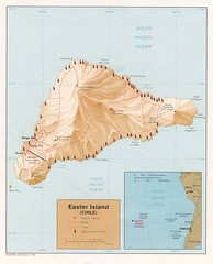
Easter Island Tourist Map

Easter Island Tourist Map

707 miles away

rated 4 by 1 person
Near Easter Island
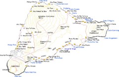
Easter Island Map

Easter Island Map

Easter Island map

708 miles away

rated 4 by 1 person
Near Easter Island
Keywords: reference, island, topo
Juan Fernandez Islands Topographic Map

Juan Fernandez Islands Topographic Map

Shows Isla Mas Aferua and Isla Mas Atierra

1190 miles away

Near Juan Fernandez Islands
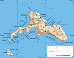
Robinson Crusoe Island Map

Robinson Crusoe Island Map

Map of Robinson Crusoe Island, Archipelago Juan Fernández, Chile. Shaded relief.

1248 miles away

Near Robinson Crusoe Island, chile
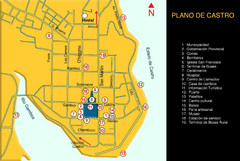
Castro Center Map

Castro Center Map

Street map of town center

1562 miles away

rated 2 by 1 person
Near castro, chile
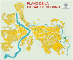
Osorno Map

Osorno Map

Street map of town

1570 miles away

Near Osorno, Chile
See more