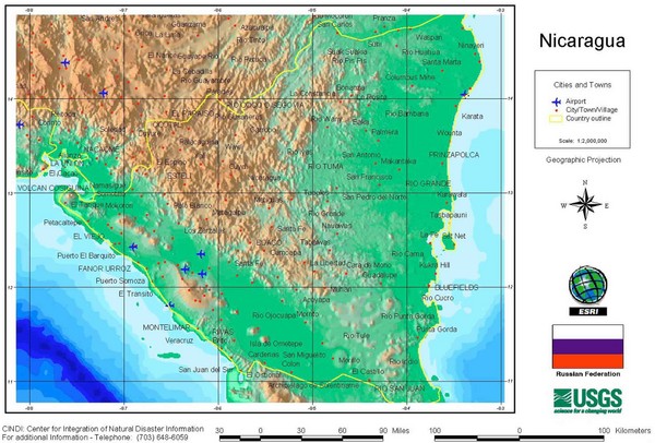
Nicaragua City and Town Elevation Map
near nicaragua
See more

 See more
Nearby Maps

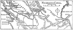
Route of Nicaragua Canal 1906 Map
29 miles away

Panoramic view of Nicaragua Canal route Map
32 miles away

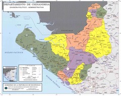
Political divisions of northeastern Nicaragua Map
38 miles away

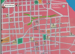
Granada, Nicaraugua Map
50 miles away
Near granada, nicaraugua

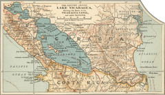
Early map of Nicaragua Canal
This was the original route for a canal across Central America
53 miles away

Political divisions of southern Nicaragua Map
54 miles away

 click for
 Fullsize


0 Comments
New comments have been temporarily disabled.