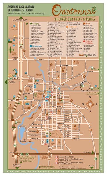
Owatonna Map
near Owatonna, Minnesota, USA
View Location
Visitor Map of Owatonna, Minnesota. Includes all streets, highways, restaurants, hotels, parks and attractions.
See more
 See more
Nearby Maps

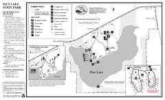
Rice Lake State Park Map
map of park with detail of trails and recreation zones
8 miles away
Near 8485 Rose St, Owatonna, MN

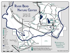
River Bend Nature Center Map
14 miles away
Near River Bend Nature Center, Faribault, MN

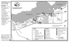
Sakatah Lake State Park Map
map of park with detail of trails and recreation zones
18 miles away
Near 50499 Sakatah Lake State Park Rd, Waterville, MN

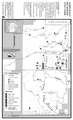
Nerstrand-Big Woods State Park Map
map of park with detail of trails and recreation zones
18 miles away
Near 9700 - 170th St East, Nerstrand, MN

St. Olaf College Map
Campus map of St. Olaf College with index
26 miles away
Near St. Olaf Ave, Northfield, MN

 click for
 Fullsize


0 Comments
New comments have been temporarily disabled.