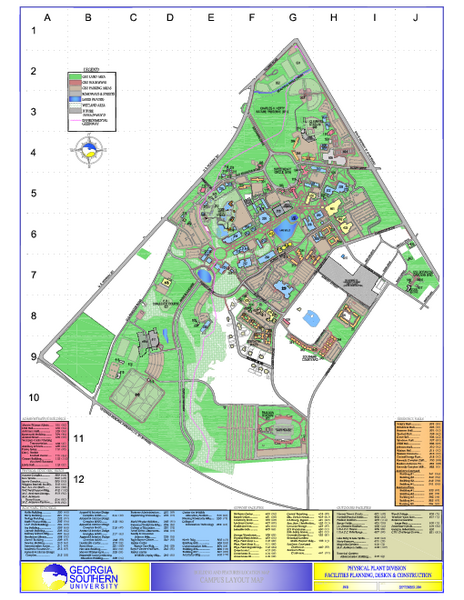
Georgia Southern University Map
near Statesboro, Georgia
See more
 See more
Nearby Maps

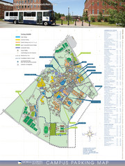
Georgia Southern University Map
Campus Map
2 miles away
Near Georgia Southern University, Statesboro, GA

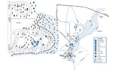
George L. Smith State Park Map
Map of park with detail of trails and recreation zones
21 miles away
Near 371 George L. Smith State Park Rd, Twin City, GA

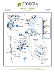
Magnolia Springs State Park Map
Map of park with detail of trails and recreation zones
32 miles away
Near 1053 Magnolia Springs Drive, Millen, GA

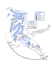
Gordonia-Alatamaha State Park Map
Map of park with detail of trails and recreation zones
32 miles away
Near Reidsville, GA

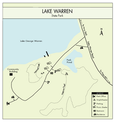
Lake Warren State Park Map
Clearly marked state park map.
44 miles away
Near Lake Warren State Park, SC, USA

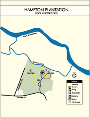
Hampton Plantation State Park Map
Clear and easy to read map.
44 miles away
Near Hampton State Park, SC, USA

 click for
 Fullsize


0 Comments
New comments have been temporarily disabled.