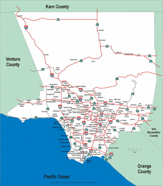
Los Angeles County Highway Map
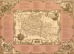
near Los Angeles, California
See more
 See more
Nearby Maps

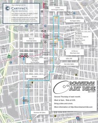
Artride Bicycle Map of Museums and Galleries
Map of a bicycle tour of the galleries and Museums in Downtown Los Angeles.
4 miles away
Near los angeles, california

East Los Angeles Murals Map
The Goez Map Guide to the Murals of East Los Angeles, CA
5 miles away
Near Los Angeles, CA, US

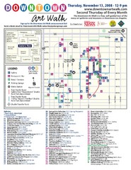
Downtown Art-Walk Map
The Downtown LA Art Walk, held every Thursday.
5 miles away
Near Downtown Los Angeles, CA, USA

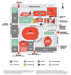
Exposotion Park Map
5 miles away
Near Exposition Park

California State University, Los Angeles Map
California State University, Los Angeles Campus Map. All buildings shown.
5 miles away
Near Los Angeles, California

University of Southern California Campus Map
Campus map of the University Park Campus of University of Southern California (USC).
5 miles away
Near University Park, Los Angeles, CA 90089

 click for
 Fullsize


0 Comments
New comments have been temporarily disabled.