Edit this map

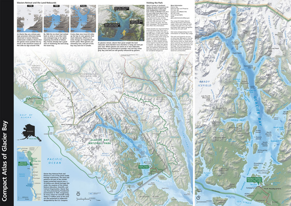
Glacier Bay National Park Map

near Glacier Bay, Alaska, USA

View LocationView Map

57.0646302732786 -137.548828125 5 satellite
Nearest Map »  Fullsize
3509 × 24821.9 MBJPG

Map of Glacier Bay National Park includes historical information about the bay as well as a detailed terrain map of the bay itself.

Created by Glacier Bay National Park and Reserve
From shadedrelief.com

travelbug added
Jan 25, 2009

Rating
no ratings

See an error? Report it.

Keywords

tourism, national, park, historical, reserve, national, park, historical, reserve

0 Comments

New comments have been temporarily disabled.
.
See more

Nearby Maps

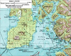
Mount Edgecumbe Topo Map

Mount Edgecumbe Topo Map

Topographic map of Mt. Edgecumbe and Sitka, Alaska. Mt. Edgecumbe is a 3000 foot inactive volcano...

76 miles away

rated 2 by 2 people
Near Mt. Edgecumbe, Alaska
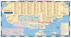
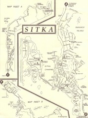
Sitka Road Map

Sitka Road Map

Guide to Sitka, Alaska

83 miles away

Near Sitka, AK, US
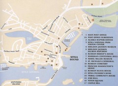
Downtown Sitka Map

Downtown Sitka Map

Sitka Downtown Walking Tour map.

83 miles away

Near Downtown Sitka, AK, USA
Keywords: reference, town
Sitka Area Map

Sitka Area Map

Shows Sitka, Alaska area on Baranof Island.

83 miles away

rated 4 by 1 person
Near Sitka, Alaska
Sitka Downtown Map

Sitka Downtown Map

83 miles away

rated 3 by 1 person
Near Sitka, Alaska
Keywords: reference, town
Sitka Road System Map

Sitka Road System Map

83 miles away

Near Sitka, Alaska
Keywords: transportation
See more