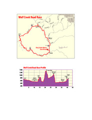
Howard Buford Recreational Area Trails Map
near Eugene, Oregon, USA
View Location
Map of the Howard Buford Recreational Area trails, roads, picnic areas, bathrooms, attractions.
See more

 See more
Nearby Maps

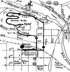
Eugene Oregon Walk, Skinner Butte and River Path...
Walk on the Willamette River Bike path, up Skinner Butte on a forest path and through a historic...
8 miles away
Near eugene, oregon

Eugene Parks map
City of Eugene Parks Map. Includes streets and trails.
8 miles away
Near Eugene, OR

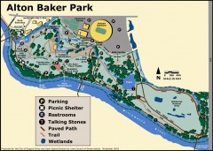
Alton Baker Park Map
Shows parking, picnic shelters, restrooms, talking stones, paved path, trail, and wetlands. Alton...
9 miles away
Near Eugene, Oregon

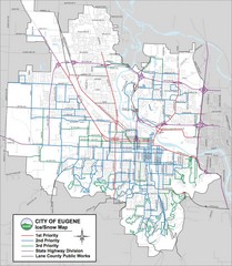
Eugene, Oregon City Map
9 miles away
Near Eugene, Oregon

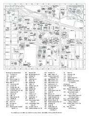
University of Oregon campus map
University of Oregon campus map with building abbreviations
9 miles away
Near University of Oregon, Eugene OR 97403

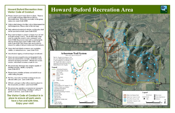
Wolf Creek Road Race Route and Route Elevation Map
Route map and elevation of Wolf Creek bike Race
12 miles away
Near eugene, or

 click for
 Fullsize


0 Comments
New comments have been temporarily disabled.