Lassen National Park Map
near Lassen National Park, California, USA
View Location
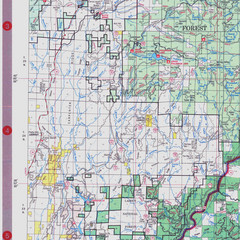
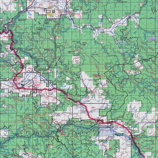
Forest Visitor Map showing locations of most camping and recreational areas in the eastern part of the forest.
See more
 See more
Nearby Maps

Lassen National Park Map
Visitor Map that shows most of Lassen National Forest with locations of camp grounds and...
3 miles away
Near Lassen National Park, California, USA

Lassen National Park Map
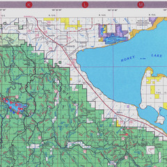
Forest Visitor Map of the farthest east of the park, shows all camping and recreational areas and...
5 miles away
Near Lassen National Park, California, USA

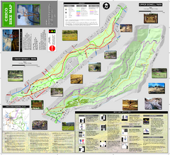
Upper and Lower Bidwell Park Bike Map
Bike map of Upper Bidwell Park and Lower Bidwell Park in Chico, California
26 miles away
Near Chico, California

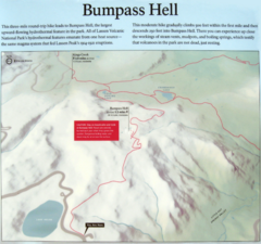
Bumpass Hell Trail Map
Trail map of route to Bumpass Hell, a major area of geo-thermal activity in Lassen National Park...
27 miles away
Near Lassen National Park, California

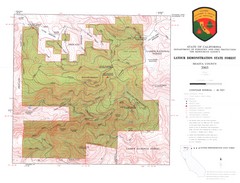
Latour State Forest Map
Countour map of the Latour Demonstration Forest.
28 miles away
Near Shasta county, California

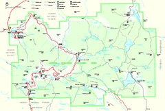
Lassen Volcanic National Park Official Park Map
Official NPS map of Lassen Volcanic National Park in California. Map shows all areas. Lassen...
28 miles away
Near Lassen Volcanic National Park

 click for
 Fullsize


0 Comments
New comments have been temporarily disabled.