Layola University Medical Campus Map
near Maywood, Illinois, USA
View Location
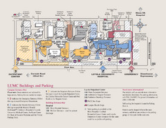
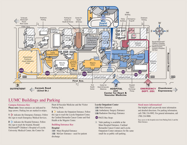
Map of Layola University Campus. Shows specific location of the hospital, emergency department, parking and outpatient center.
See more
 See more
Nearby Maps

Loyola University Medical Center Map
Visitor map of Loyola University Medical center including Hospital/ Emergency and Output center...
less than 1 mile away
Near 2160 S. First Ave., Maywood, IL

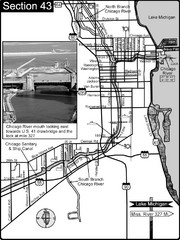
Chicago, IL Sanitary & Ship Canal/Chicago...
This is the beginning of the Illinois Waterway that connects Lake Michigan to the Mississippi River...
5 miles away
Near chicago, il

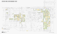
University of Illinois at Chicago Map
University of Illinois at Chicago Campus Map. All buildings shown.
8 miles away
Near University of Illinois, Chicago, Illinois

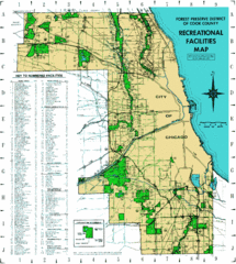
Cook County Recreation Map
Map of forest preserve recreational facilities in Cook County, Illinois.
8 miles away
Near Cook County, Illinois

 click for
 Fullsize


0 Comments
New comments have been temporarily disabled.