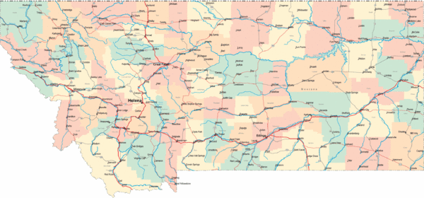
Montana Road Map
near Montana, USA
See more
 See more
Nearby Maps

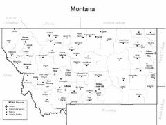
Montana Airports Map
10 miles away
Near Montana

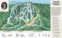
Showdown Ski Area Ski Trail Map
Trail map from Showdown Ski Area.
20 miles away
Near Montana, United States

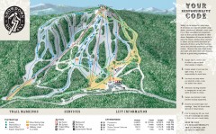
Showdown Ski Trail Map
Official ski trail map of Showdown ski area
20 miles away
Near White Sulphur Springs, Montana

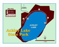
Ackley Lake State Park Map
Simple map of the State Park.
23 miles away
Near Ackley Lake State Park, Montana

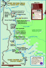
Smith River State Park Map
The Smith River is a unique 59-mile river corridor. Permits are required to float the stretch of...
40 miles away
Near Smith River State Park, MT, USA

 click for
 Fullsize


0 Comments
New comments have been temporarily disabled.