Citrus County, Florida Map
near Inverness, Florida
View Location
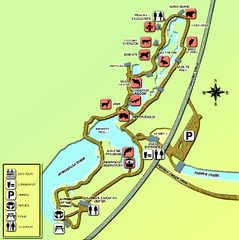
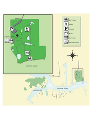
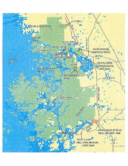
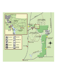
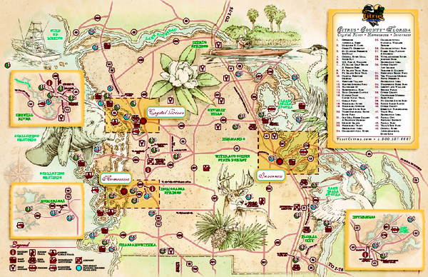
Tourist map of Citrus County, Florida. Shows parks, trails, museums, and other points of interest.
See more
 See more
Nearby Maps

Homosassa Springs Wildlife State Park map
Map of park with detail of trails and recreation zones
11 miles away
Near 4150 S. Suncoast Blvd., Homosassa, Florida

Crystal River Archeological State Park Map
Map of park with detail of trails and recreation zones
12 miles away
Near 3400 N. Museum Point, Crystal River, FL

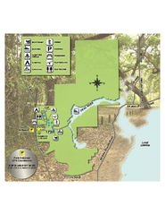
Crystal River Preserve State Park Map
Map of park with detail of recreation zones
14 miles away
Near 3266 North Sailboat Avenue, Crystal River, Florida

Rainbow Springs State Park Map
Map of park with detail of recreation zones
14 miles away
Near 19158 S.W. 81st Pl. Rd., Dunnellon, Florida

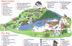
Weeki Wachee Springs State Park Map
Map of park
27 miles away
Near 6131 Commercial Way, Spring Hill, Florida

Lake Griffin State Park Map
Map of park with detail of trails and recreation zones
33 miles away
Near 3089 US Highway 441-27, Fruitland Park, Florida

 click for
 Fullsize


0 Comments
New comments have been temporarily disabled.