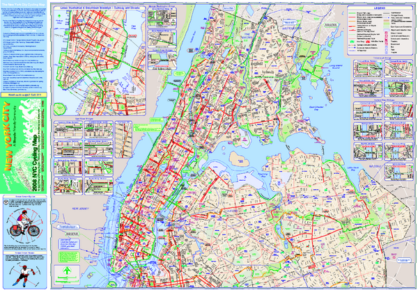
New York City Bike Map
near NYC
See more

 See more
Nearby Maps

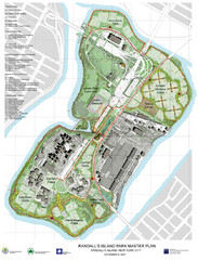
Randall's Island Park Map
Master plan for Randall's Island Park
1 mile away
Near Randall's Island, New York City

Broadway Elevation Map
Illustrative section of Broadway, from 125th Street to 134th Street, looking east
1 mile away
Near 130th St and Broadway, New York, NY

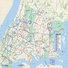
Bronx, New York Bus Map
Official MTA Bus Map of all of the Bronx, New York. Shows all routes.
1 mile away
Near Bronx, New York

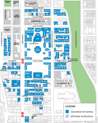
Columbia University Map
Campus map of Columbia University. All buildings shown.
1 mile away
Near Columbia University, New York

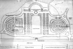
Central Park Conservatory Garden Map
Map of the Conservatory Garden in Central Park, New York City. Photo of outdoor map.
1 mile away
Near Central Park, NY

Manhattan Waterfront Greenway Bike Map
Bike map of the Manhattan Waterfront Greenway. Shows walking and biking paths, ferry landings and...
1 mile away
Near New York, NY

 click for
 Fullsize


0 Comments
New comments have been temporarily disabled.