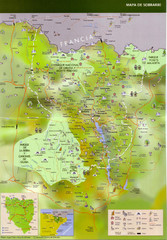
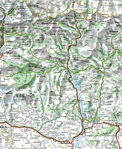
Sobrarbe Province Map
near Sobrarbe, Spain
View Location
Shows Ordesa y Monte Perdido National Park and Sierra de Guara and Guara Canyons Natural Park
See more
 See more
Nearby Maps

Sobrarbe Town Map
10 miles away
Near Sobrarbe, Aragon, Spain

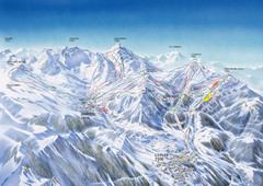
Benasque-Cerler Region Ski Trail Map
Ski trail map of the Benasque-Cerler region in the Pyrenees. Shows lift systems and trails from...
27 miles away
Near Ampriu, Spain

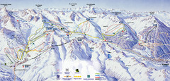
Bareges/La Mongie Ski Trail Map
Trail map from Bareges/La Mongie.
31 miles away
Near La Mongie, 65200 Bagnères-de-Bigorre...

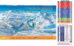
Arette-La Pierre St. Martin Ski Trail Map
Trail map from Arette-La Pierre St. Martin.
53 miles away
Near La Pierre-Saint-Martin, 64570 Arette, France

 click for
 Fullsize


0 Comments
New comments have been temporarily disabled.