Edit this map

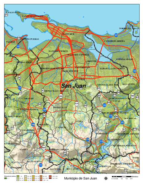
San Juan Road Map

near San Juan, Puerto Rico

View LocationView Map

18.4301077015697 -66.1164093017578 12 satellite
Nearest Map »  Fullsize
802 KBPDF

Road map of San Juan, Puerto Rico area. Shows shaded elevation.

From topuertorico.org

Added on
Jan 15, 2009

Rating
rated 1.75 by 4 people

See an error? Report it.

Keywords

reference, city, road, elevation, cabo, rojo, manat, calle, higuerra, #1, parcelas, maquez

0 Comments

New comments have been temporarily disabled.
See more

Nearby Maps

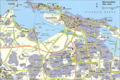
San Juan City Map

San Juan City Map

City Map of San Juan with information

2 miles away

Near San Juan, Puerto Rico
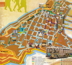
Old Town San Juan and El Morro Map

Old Town San Juan and El Morro Map

2 miles away

Near el morro san juan
Keywords: tourism
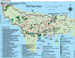
Old San Juan Tourist Map

Old San Juan Tourist Map

City tourist map

2 miles away

Near Old San Juan, Puerto Rico
Keywords: tourism, island, city, town
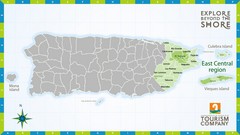
East Central Puerto Rico Map

East Central Puerto Rico Map

19 miles away

Near Puerto Rico
Puerto Rico Tourist Map

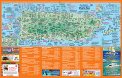
Puerto Rico Tourist Map

Map of island with detail of local tourist attractions

28 miles away

Near Puerto Rico
Keywords: tourism, island, city, town
Puerto Rico Tourist Map

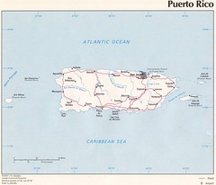
Puerto Rico Tourist Map

Tourist map for Puerto Rico showing major roads, cities and the airport.

34 miles away

Near Puerto Rico
Keywords: tourism
See more