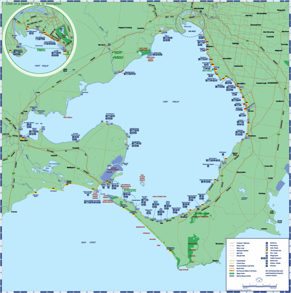
Port Phillip Bay Tourist Map
near Port Phillip Bay, Victoria, Australia
See more

 See more
Nearby Maps

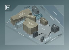
Federation Square Map
Map of Fed Square, Melbourne, Australia. Shows 3D views of buildings.
24 miles away
Near Russell St, Melbourne, Australia

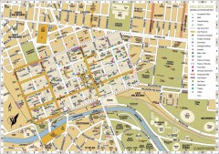
Melbourne Central District Tourist Map
Shows city of Melbourne Central District. Shows hotels, parking, trains stations, shopping/cafes...
25 miles away
Near Melbourne, Australia

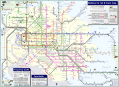
Melbourne Tram Map
25 miles away
Near Melbourne

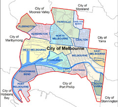
City of Melbourne Australia Boundary Map
Boundary map showing the suburbs of Melbourne, Australia. No street level detail.
25 miles away
Near Melbourne, Australia

 click for
 Fullsize


0 Comments
New comments have been temporarily disabled.