18th century India Map
near india
View Location
Tweet
See an error? Report it.
Keywords
history, colonial, mumbai, metro, railway, india, https://airporttransfer, com/bkk-suvarnabhumi-airport-transfers See more
 See more
Nearby Maps

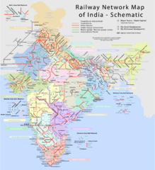
India Railway Network Schematic Map
Schematic rail map of India showing trunk and other routes.
0 miles away
Near India

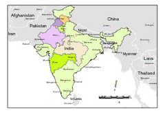
Political Map of India, Fully Editable in...
Political Map of India with boundaries of few Western and Northern states. Major cities have been...
0 miles away
Near India

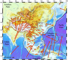
Horizontal Surface Motions map
This map illustrates the horizontal surface motions of sites in Asia. Eric Calais, a Purdue...
0 miles away
Near India

 click for
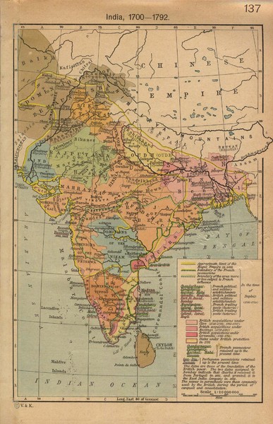
 Fullsize

0 Comments
New comments have been temporarily disabled.