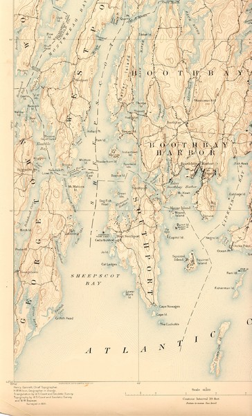
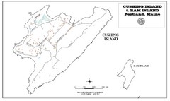
Boothbay Island Map
near Boothbay Island
See more
 See more
Nearby Maps

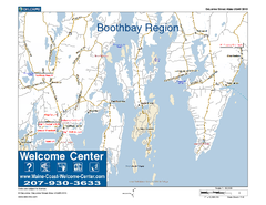
Boothbay Area, Maine, USA Map
Maine Coast Welcome Center's local Map of the Boothbay, Maine area with recommended business...
7 miles away
Near east boothbay, me

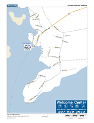
Port Clyde, Maine, USA Map
Maine Coast Welcome Center's local Map of Port Clyde, Me with recommended business locations.
23 miles away
Near Port Clyde, maine

Falmouth Map
Map of Falmouth town and bay. Includes roads, parks, accommodations and attractions.
30 miles away
Near Falmouth, Maine, USA

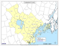
Cumberland County Map
Map showing all city divisions of Cumberland County, Maryland with specific location of the CPCOG.
30 miles away
Near Cumberland, Maine, USA

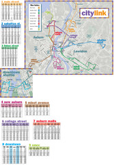
Citylink Route Map
Map of citylink bus routes throughout Auburn and Lewiston, Maine
30 miles away
Near Auburn, Maine

 click for
 Fullsize


0 Comments
New comments have been temporarily disabled.