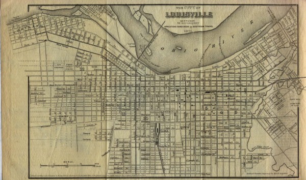
Antique map of Louisville from 1873
near louisville, kentucky
View Location
Map of Louisville, Kentucky from Appletons' Hand-Book of American Travel, Southern Tour. Compiled and Edited by Charles H. Jones, 1873
See more

 See more
Nearby Maps

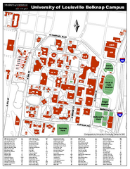
University of Louisville Map
University of Louisville Campus Map. All buildings shown.
less than 1 mile away
Near Louisville, Kentucky

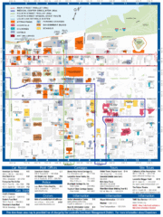
Downtown Louisville Restaurant Map
less than 1 mile away
Near Louisville, Kentucky

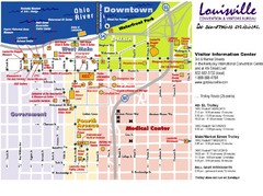
Louisville, Kentucky Tourist Map
less than 1 mile away
Near Louisville, KY

Louisville, Kentucky Tourist Map
less than 1 mile away
Near Louisville, KY

Louisville, Kentucky Tourist Map
less than 1 mile away
Near Louisville, KY

Downtown Louisville Map
Detailed map of gas stations, car rentals, and basic information of Louisville.
less than 1 mile away
Near Downtown Louisville, KY, USA

 click for
 Fullsize


0 Comments
New comments have been temporarily disabled.