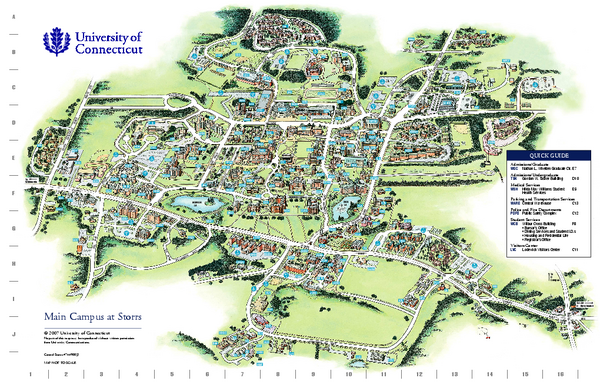
University of Connecticut - Storrs Campus Map
near Storrs, Connecticut
See more
 See more
Nearby Maps

Mansfield Conservation and Development Map
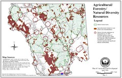
Guide to Agricultural, Forestry and Natural Diversity Resources
2 miles away
Near Mansfield, CT, US

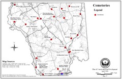
Mansfield Cemetery Map
2 miles away
Near Mansfield, Connecticut

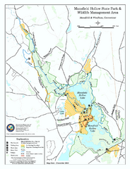
Mansfield Hollow State Park map
Map for Mansfield Hollow State Park and Wildlife Management Area in Connecticut.
4 miles away
Near mansfield, ct

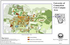
University of Connecticut Campus Map
Map shows current, funded projects and future development for UConn.
6 miles away
Near Mansfield, Connecticut

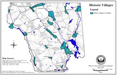
Historic Villages of Mansfield, Connecticut Map
Historical villages outlined on the map of the existing city.
6 miles away
Near Mansfield, Connecticut

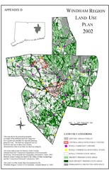
2002 Windham Region Land Use Map
Regional Land Use Guide Map for Planning Purposes
8 miles away
Near Windham, Connecticut, US

 click for
 Fullsize


0 Comments
New comments have been temporarily disabled.