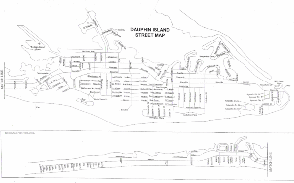
Dauphin Island Street Map
near Dauphin Island
See more

 See more
Nearby Maps

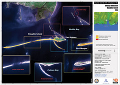
Dauphin Island Change Detection Map
2 miles away
Near Dauphin Island

Gulf Islands National Seashore Park Map
Official NPS map of the Gulf Islands National Seashore Park. Largest National Seashore in the US...
21 miles away

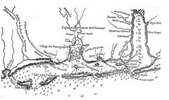
Mississippi & Alabama coastal area, 1732 Map
24 miles away
Near Helena, Mississippi

Mobile, Alabama City Map
30 miles away
Near Mobile, Alabama

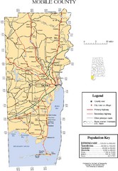
Mobile County Map
Clear map marking Mobile County and local area.
30 miles away
Near mobile, alabama

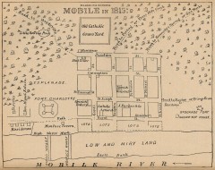
Antique map of Mobile from 1815
"Mobile in 1815" From Report on the Social Statistics of Cities, Compiled by George E...
30 miles away
Near mobile, alabama

 click for
 Fullsize


0 Comments
New comments have been temporarily disabled.