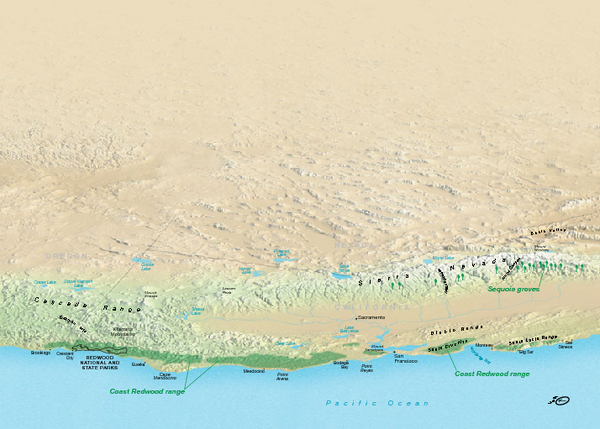
California Redwood Range Map
near Napa, California
View Location
NPS prospective map of the coastal redwoord range in California, extending from Santa Cruz north to Mendocino County. Shows Redwood National Park.
See more
 See more
Nearby Maps

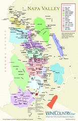
Napa Valley Wine Map
Wine map of Napa Valley, Napa, California. Shows all vineyards and shading by appellations from...
2 miles away
Near Napa, California

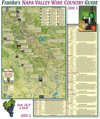
Napa Valley Wine Country Guide Map
Map of the Napa Valley Wine Country. With over 250 local Wineries listed. Printed on waterproof...
5 miles away
Near Napa Valley, Ca

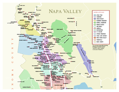
Napa County Wineries, California Map
Map of wineries in Napa County, California. Shows wineries and appellations.
6 miles away
Near napa, ca

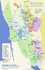
Sonoma Country Wine Map
Wine map of Sonoma, California area. Shows all vineyards.
8 miles away
Near Sonoma, California

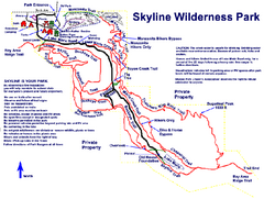
Skyline Wilderness Park Map
Trail map of Skyline Wilderness Park in Napa, California
11 miles away
Near 2201 Imola Ave., Napa, CA

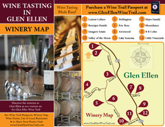
Glen Ellen Wine Tasting Map
11 miles away
Near Glen Ellen Ca

 click for
 Fullsize


1 Comments
also shows Sequoia groves in the Sierra Nevada mountains.