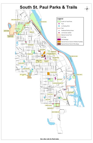
South St. Paul Parks and Trails Map
near South St. Paul, Minnesota
See more
 See more
Nearby Maps

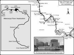
Upper Mississippi River Mile 811 to Mile 1347 Map
Historical Map from book "Mississippi River-Historical Sites and Interesting Places
less than 1 mile away
Near Minneapolis, MN

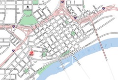
St. Paul, Minnesota City Map
5 miles away
Near St. Paul, Minnesota

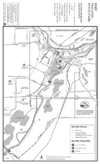
Fort Snelling State Park Winter Map
Winter map of park with detail of trails and recreation zones
7 miles away
Near 101 Snelling Lake Rd, St. Paul, MN

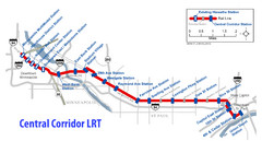
Central Corridor Light Rail in Twin Cities Region...
New Light Rail in Twin Cities Region
7 miles away
Near Saint Paul, MN

Fort Snelling State Park Summer Map
Summer map of park with detail of trails and recreation zones
8 miles away
Near 101 Snelling Lake Rd, St. Paul, MN

Minneapolis-St. Paul International Airport...
Official Map of Minneapolis-St. Paul International Airport. Shows Humphrey Terminal.
9 miles away
Near 7150 Humphrey Drive Minneapolis, MN 55450

 click for
 Fullsize


0 Comments
New comments have been temporarily disabled.