Lemars Iowa Topo Map
near Lemars, Iowa
See more
 See more
Nearby Maps

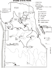
Stone State Park Map
Map of trails and park facilities in Stone State Park.
22 miles away
Near sioux city, IA

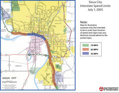
Sioux City, Iowa City Map
24 miles away
Near Sioux City, Iowa

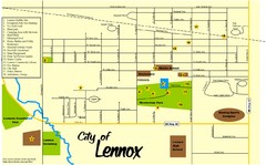
Lennox Town Map
Map of Lennox, including various recreational locations
54 miles away
Near Lennox, South Dakota

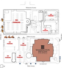
Washington Pavillion of Arts and Sciences Bus...
60 miles away
Near 301 S. Main Street, Sioux Falls, S.D.

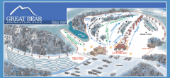
Great Bear Recreation Park Ski Trail Map
Trail map from Great Bear Recreation Park.
60 miles away
Near Sioux Falls, South Dakota, United States

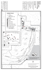
Blue Mounds State Park Map
Map of park with detail of trails and recreation zones
63 miles away
Near 1410 161st St, Luverne, MN

 click for
 Fullsize


0 Comments
New comments have been temporarily disabled.