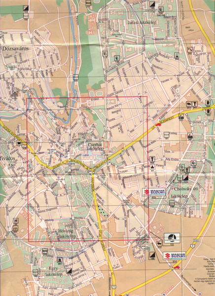
Veszprem City Map
near Veszprem, Hungary
See more
 See more
Nearby Maps

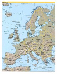
Europe relief Map
Map of Europe showing mountains, cities, countries and borders
18 miles away
Near Europe

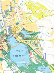
Tatai Öreg-tó Map
43 miles away

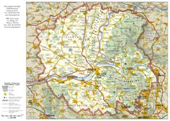
Duna-Ipoly Nemzeti National Park Map
Reference map of Duna-Ipoly Nemzeti National Park and surrounding area north of Budapest, Hungary
58 miles away
Near Duna-Ipoly Nemzeti Park, Hungary

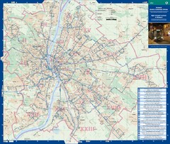
Budapest Night Bus Routes Map
Map of night bus routes in Budapest, Hungary
60 miles away
Near Budapest, Hungary

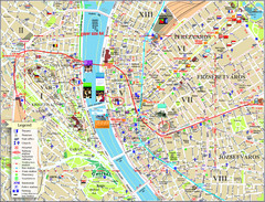
Budapest Tourist Map
Tourist map of central Budapest, Hungary. Shows theaters, museums, post offices, churches, and...
60 miles away
Near Budapest, Hungary

 click for
 Fullsize


0 Comments
New comments have been temporarily disabled.