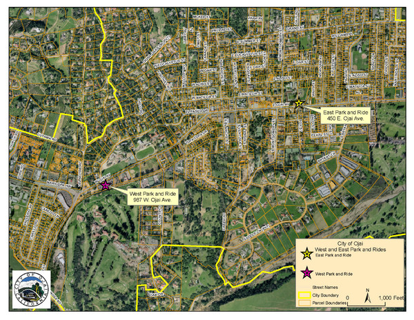
Ojai Park and Rides Map
near Ojai, California
See more
 See more
Nearby Maps

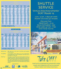
SCAT Shuttle Map: Ventura Harbor to Downtown...
Shuttle bus route map of SCAT Shuttle between Ventura Harbor and downtown Ventura, California...
12 miles away
Near ventura, ca

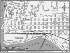
San Buenaventura Map
12 miles away
Near San Buenaventura, CA, USA

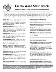
Emma Wood State Beach Campground Map
Map of campground region of park with detail of trails and recreation zones
12 miles away
Near Emma Wood State Beach, Ventura, CA

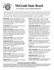
McGrath State Beach Campground Map
Map of beach and park with detail of trails and recreation zones
16 miles away
Near 2211 Harbor Blvd, Oxnard, CA

McGrath State Beach Map
Map of beach and park with detail of trails and recreation zones
16 miles away
Near 2211 N. Harbor Blvd, Oxnard, CA

 click for
 Fullsize


0 Comments
New comments have been temporarily disabled.