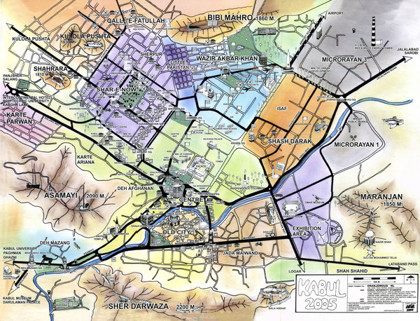
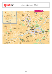
Kabul City Map
near Kabul, Afghanistan
View Location
City map of Kabul, Afghanistan. Neighborhoods are shaded. Shows points of interest, restaurants, and embassies.
Tweet
See an error? Report it.
Keywords
reference, asadabad, city, afghanistan, kabol, indian, embassy, embassy of india, indian embassy, abdulhak, sehit, square, vazirabad See more
 See more
Nearby Maps

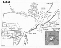
Kabul, Afghanistan Tourist Map
1 mile away
Near Kabul

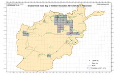
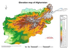
Afghanistan Shaded Relief Index Map
Index Map for the ASTER-Derived 30-Meter-Resolution Digital Elevation Models of Afghanistan.
94 miles away
Near Afghanistan

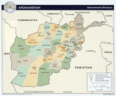
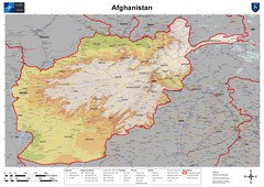
Afghanistan Tourist Map
94 miles away
Near Afghanistan

 click for
 Fullsize


1 Comments
Right in the middle of the mountains