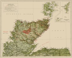
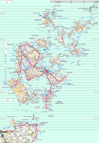
Orkney Map
near Orkney, UK
See more
 See more
Nearby Maps

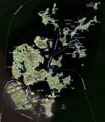
Orkney Islands Map
Guide to the Orkney Islands, northern most islands of the United Kingdom
12 miles away
Near Orkney Islands, Scotland, UK

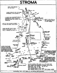
Stroma Tourist Map
22 miles away
Near Stroma Island

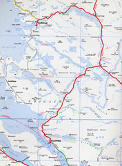
Elphin Map
96 miles away
Near Ullapool, UK

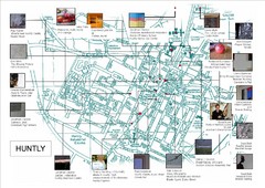
Huntly Town Collection Map
Visual public art in Huntly, Scotland. With photos. From site: "Artists working with Deveron...
108 miles away
Near Huntly, Scotland

Sutherland Historical Map
Map of Sutherland and Caithness in Saga-Time
116 miles away
Near shetland islands

 click for
 Fullsize


0 Comments
New comments have been temporarily disabled.