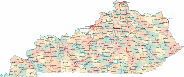
Kentucky Road Map
near Kentucky
See more
 See more
Nearby Maps

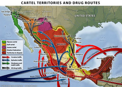
Mexican Drug Cartel Territories and Routes Map
22 miles away
Near Mexico

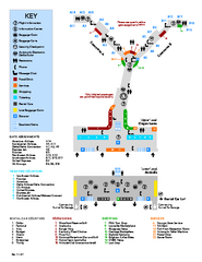
Louisville International Airport Terminal Map
Official Map of the Louisville International Airport. Shows all terminals and facilities.
24 miles away
Near Louisville International Airport

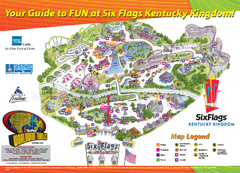
Six Flags Kentucky Kingdom Theme Park Map
Official Park Map of Six Flags Kentucky Kingdom in Kentucky.
26 miles away
Near 937 Phillips Lane Louisville, Kentucky 40209

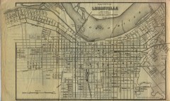
Antique map of Louisville from 1873
Map of Louisville, Kentucky from Appletons' Hand-Book of American Travel, Southern Tour...
30 miles away
Near louisville, kentucky

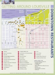
Downtown Louisville Restaurant Map
30 miles away
Near Louisville, Kentucky

 click for
 Fullsize


0 Comments
New comments have been temporarily disabled.