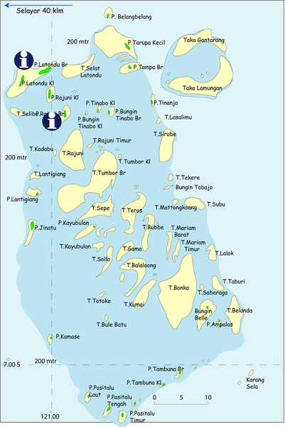
Taka Bonerate Map
near taka bonerate, indonesia
View Location
The Bonerate National Park is home to the third biggest atoll in the world after Kwajifein in the Marshall Isles and Suvadiva in the Moldiva Isles. The total area of the atoll is about 220,000 hectares with coral reefs spreading over 500km2. The national park includes an area of 530,765 ha. Taka Bonerate is a Bugis’s name that somewhat has a meaning ‘Coral Piled Up On Sand’. There are 15 islands in taka Bonerate National Park where visitors can enjoy diving, snorkelling and marine tours.
Nearby Maps
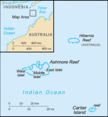
Ashmore and Cartier Islands Tourist Map
169 miles away
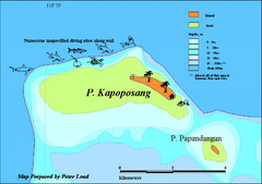
Kapoposang Map
Kapoposang National Marine Park may not be as well-known as other celebrated diving resorts, like...
190 miles away
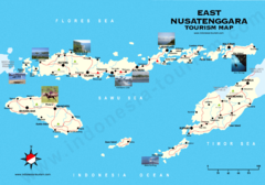
East Nusatenggara Tourist Map
Tourist map of East Nusatenggara, Indonesia. Shows some photos.
200 miles away

Rantepao Tourism Map
Tourist map of Rantepao, Indonesia. Shows hotels, restaurants, and banks.
274 miles away
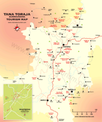
Tana Toraja Tourist Map
Tana Toraja tourist map with inset of Rantepao, Indonesia
274 miles away

 click for
 Fullsize


0 Comments
New comments have been temporarily disabled.