Uncompahgre Plateau by carvedmaps.com Map
near Uncompahgre Plateau
View Location
 click for
38.5245328874869
-108.446044921875
13
satellite
 Fullsize
Uncompahgre Plateau
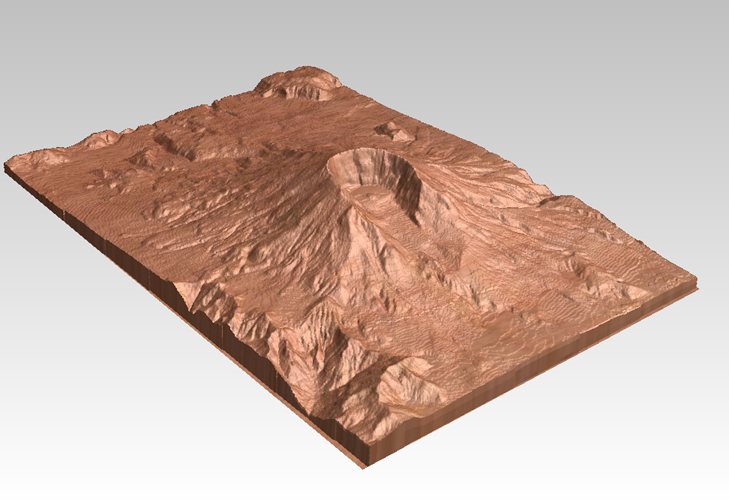 CarvedMaps.com
 See more


 See more
Nearby Maps
Sweitzer Lake State Park Map
Map of park with detail of recreation zones
25 miles away
Near Sweitzer Lake State Park, CO
Gateway, Colorado carved by CarvedMaps.com Map
CarvedMaps.com carved this beautiful wood map of the Gateway area in SW Colorado. This company...
28 miles away
Near Gateway, CO
Colorado National Monument carved by CarvedMaps...
Colorado National Monument near Grand Junction, CO. was carved by CarvedMaps.com They can carve...
38 miles away
Near Colorado National Monument
Colorado National Monument Map
39 miles away
Near Colorado National Monument
Connected Lakes State Park Map
Map of connected lakes section of the James M Robb Colorado River State Park
39 miles away
Near Clifton, CO

0 Comments
New comments have been temporarily disabled.