Edit this map

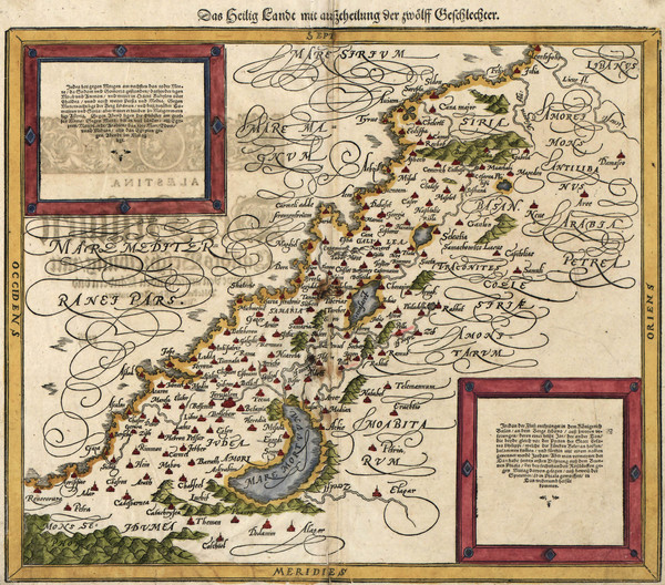
Munster’s Map of the Holy Land (1588)

near israel

View LocationView Map

32.2871326326164 35.057373046875 7 satellite
Nearest Map »  Fullsize
1999 × 1759791 KBJPG

Sebastian Munster's map of the Abrahamic Holy Land in 1588.

Created 1588 by Sebastian Munster
From www.BigMapBlog.com

BigMapBlog added
Jan 6, 2012

Rating
no ratings

See an error? Report it.

Keywords

history, israel, palestine, holy land, religion, abrahamic religion, christianity, judaism, islam

0 Comments

New comments have been temporarily disabled.
.
See more

Nearby Maps

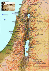
Israel Map

Israel Map

Israel map highlighting location of Theater of Sepphoris

17 miles away

rated 2 by 1 person
Near Israel
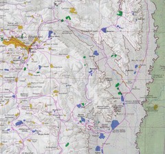
Eastern West Bank Map

Eastern West Bank Map

Map of Nabulus and Eastern region of West Bank

19 miles away

Near West Bank
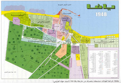
Detailed Map Of Jaffa Before Nakba

Detailed Map Of Jaffa Before Nakba

Map of Jaffa district and neighboring villages. Note: Map is not in English

21 miles away

Near tel aviv
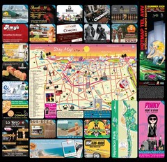
Tel Aviv  day map summer 2009

Tel Aviv day map summer 2009

this is a great day map that show the real life in tel aviv , also theres a small map of "park...

22 miles away

Near Tel aviv
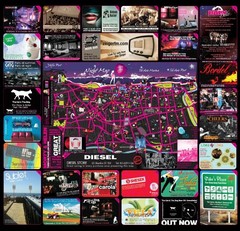
Hot night map tel aviv - israel 2009

Hot night map tel aviv - israel 2009

a great night map of tel aviv , all the best bars and clus on that map , amzingggggg city

22 miles away

Near tel aviv
Keywords: tourism
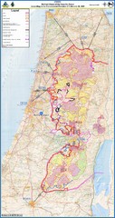
Israel Security Fence Route Map

Israel Security Fence Route Map

Revised route of the Israel Security Fence around the West Bank as of Feb 2005

23 miles away

rated 2.5 by 2 people
Near Israel
See more