Solar Radiation Map of Luxembourg
near Luxembourg
View Location
Solar Radiation Map Based on high resolution Solar Radiation Database: SolarGIS. On the Solar Map: Global Horizontal irradiation.
See more
 See more
Nearby Maps

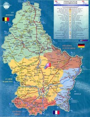
Luxembourg Tourist Map
Tourist map of the country of Luxembourg. Shows points of interest and activity icons. In French...
0 miles away
Near Luxembourg

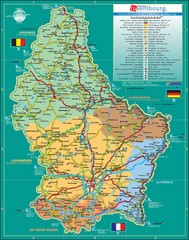
Luxembourg Tourism Map
Tourist Map of Luxembourg showing major roads, railways, and tourist attractions.
0 miles away
Near Luxembourg

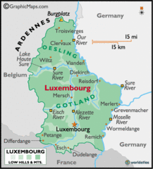
Luxembourg Map
2 miles away

Luxembourg Map
Map of the mountains, cities and roadways of Luxembourg.
4 miles away
Near Luxembourg

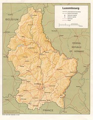
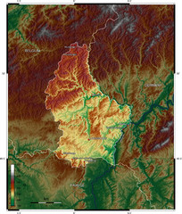
Luxembourg topo Map
5 miles away

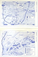
Kirchberg Map
Map of Kirchberg, Luxembourg. In French. Scanned.
13 miles away
Near Kirchberg, Luxembourg

 click for
 Fullsize

0 Comments
New comments have been temporarily disabled.