Policzna_Zwolen_Poland.jpg Map
near Policzna, pl
View Location
 click for
 Fullsize
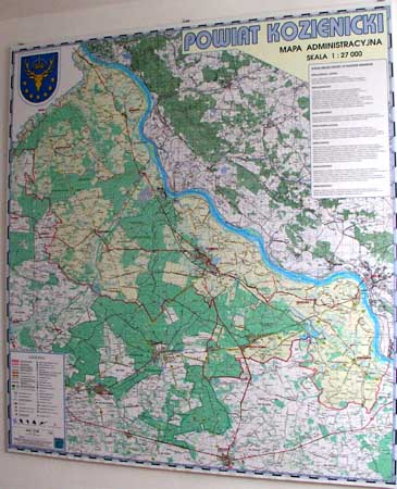
Map of Policzna_Zwolen_Poland.jpg is another "all-proof" street map. 5 years on site doesn't matter for that steel-plate map. May be I shoud make them more fragile... in respect to my own interest...? :-))
 EDGAR
EDGARNearby Maps

Policzna Commune Street Map
POLICZNA Commune, street map Ed. 2008 Size 2000 x 1250 mm Waterproof print-out verified for...
less than 1 mile away

Garbatka_Letnisko_Poland.jpg Map
Map of Garbatka_Letnisko_Poland.jpg is a "city-village" plan. I do love to enter photos...
2 miles away

Zwolen county street map
Zwolen county - street map Big size 200 x 300 cm waterproof map
7 miles away

Zwolen_county_folded_map_POLAND Map
Zwolen county, paper folded map Scale 1: 70 000 Projection UTM/WGS84, GPS compatibile verified...
7 miles away

Sieciechow commune street map, PL Map
Sieciechow commune - street map Ed. 2007 Size 2000 x 1000 mm Type: administratie and touristic map
7 miles away

Sieciechow, Poland, Mazovia Map
Sieciechow commune map, Mazovia, PL
7 miles away

0 Comments
New comments have been temporarily disabled.