Kowala_Mazovia_poland.jpg Map
near Kowala Stepocina, PL
View Location
 click for
 Fullsize
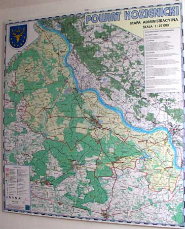
Map of Kowala_Mazovia_poland.jpg is a Kowala commune map, created with use of GlobalMapper and fully georeferenced. Both paper and street edition issued. Kowala lies southward from Radom city, Mazovia area, Poland. An extensive corrections made that work nightmare
 EDGAR
EDGARNearby Maps

Kowala Commune - near Radom, PL Map
Kowala-Stepocina Commune - the administrative and touristic wall map, scala 1:12500, with 3D effect...
2 miles away

Jastrzebia commune 3D Map
Jastrzebia commune - 3D map Ed. 2010 Projection UTM/WGS84 Scale 1:25 000 Mede with extensive use...
14 miles away

Bartodzieje_Village_Jastrzebia_Poland_streetmap...
Map of Bartodzieje_Village_Jastrzebia_Poland_streetmap.pdf is a street informative map of dimension...
15 miles away

PuszczaKozienicka tourist map
LKP - Lesny Kompleks Promocyjny - PuszczaKozienicka - tourist map Ed. 2010 Projection: UTM/WGS84...
19 miles away

Zwolen county street map
Zwolen county - street map Big size 200 x 300 cm waterproof map
22 miles away

Zwolen_county_folded_map_POLAND Map
Zwolen county, paper folded map Scale 1: 70 000 Projection UTM/WGS84, GPS compatibile verified...
22 miles away

0 Comments
New comments have been temporarily disabled.