Edit this map

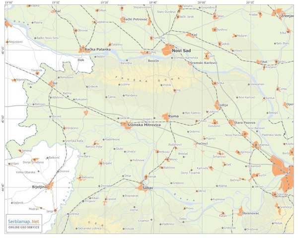
Urban areas in Srem region (Vojvodina, Serbia) Map

View LocationView Map

45.0832179492684 19.7698974609375 9 satellite
Nearest Map »  Fullsize
1000 × 800184 KBJPG

Srem is a part of Vojvodina province between river Sava and Danube. Largest places are Sremska Mitrovica, Ruma and Inđija.

Created by Dukanac
From Serbiamap.Net

Added on
Jan 21, 2011

Rating
no ratings

See an error? Report it.

Keywords

reference, srem, serbia, srbija, urban area

0 Comments

New comments have been temporarily disabled.
.
See more

Nearby Maps

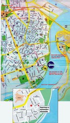
Novi Sad City Map

Novi Sad City Map

City map of central Novi Sad, Serbia. Bus route to a conference drawn on top of scanned map.

12 miles away

rated 2 by 1 person
Near Novi Sad, Serbia
Keywords: reference, city, serbia
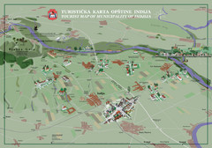
Indija Tourist Map

Indija Tourist Map

Tourist map of municipality of Indija, Serbia

15 miles away

rated 3 by 3 people
Near Indija, Serbia
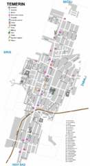
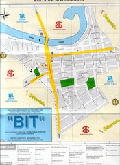
Temerin Map

Temerin Map

24 miles away

Near péterréve
Keywords: reference
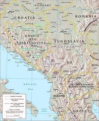
Central Balkan Map

Central Balkan Map

Countries in Central Europe

26 miles away

Near Central Balkan
Keywords: tourism
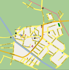
Bácsföldvár Map

Bácsföldvár Map

33 miles away

Near péterréve
Keywords: reference
Bács Map

Bács Map

34 miles away

Near Bács
Keywords: reference
See more