Edit this map

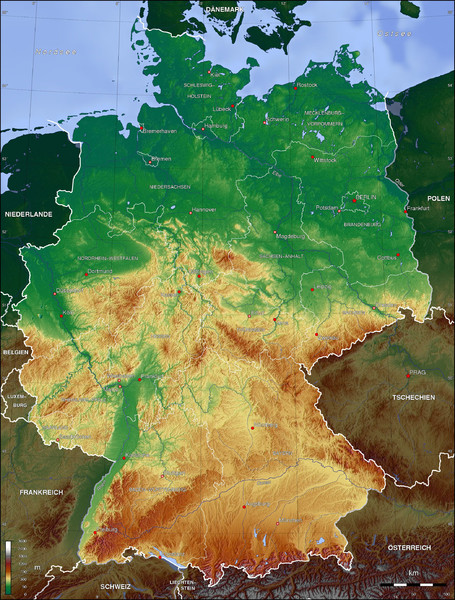
Germany Topo Map

near Germany

View LocationView Map

50.8059347267691 10.546875 6 satellite
Nearest Map »  Fullsize
2100 × 27712.7 MBJPG

Topographical map of Germany. Shaded by elevation in meters. Also shows major German cities.

From wikimedia.org

Mapophile added
Dec 14, 2010

Rating
no ratings

See an error? Report it.

Keywords

reference, topo, topographical, country, german, mountains

0 Comments

New comments have been temporarily disabled.
.
See more

Nearby Maps

Gotha Map

Gotha Map

Detailed street map of Gotha

12 miles away

rated 5 by 1 person
Near Gotha, Germany
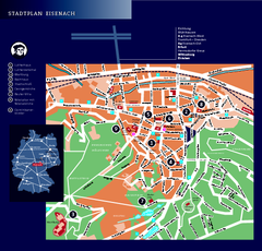
Eisenach Tourist Map

Eisenach Tourist Map

Tourist street map of Eisenach

15 miles away

Near Eisenach, Germany
Keywords: tourism, city, downtown
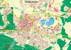
Ilmenau City Map

Ilmenau City Map

City map of Ilmenau, Germany

18 miles away

Near Ilmenau, Germany
Keywords: reference, city, germany
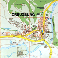
Creuzburg Map

Creuzburg Map

Map of town of Creuzburg

22 miles away

Near creuzburg, germany
Erfurt Tourist Map

Erfurt Tourist Map

Tourist map of Erfurt, Germany. Shows points of interest. In German. Scanned.

24 miles away

Near Erfurt, Germany
Keywords: tourism, city, germany, ulsar
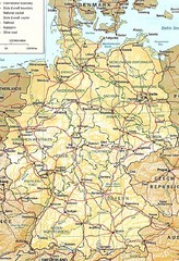
Germany Map

Germany Map

Map of Germany showing roads, railways and cities.

25 miles away

Near Germany
Keywords: reference
See more