Edit this map

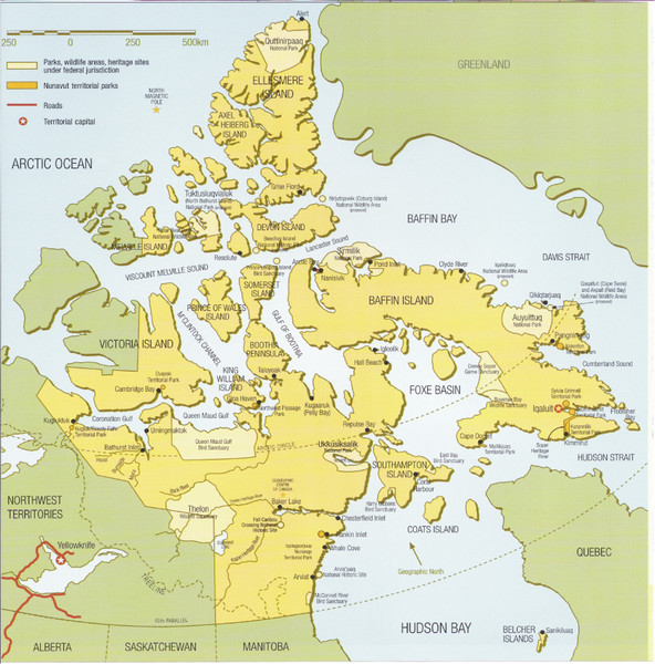
Nunavut Map

near Nunavut, Canada

View LocationView Map

72.6595884687862 -91.0546875 3 satellite
Nearest Map »  Fullsize
933 × 946372 KBJPG

Map of Nunavut, Canada. Shows parks and geographical features in the territory.

From webb.nmu.edu

Added on
Aug 20, 2010

Rating
no ratings

See an error? Report it.

Keywords

reference, territory, islands, arctic, parks

0 Comments

New comments have been temporarily disabled.
See more

Nearby Maps

Sirmilik National Park Map

Sirmilik National Park Map

Official map of Sirmilik National Park in Nunavut, Canada. Comprises Borden Peninsula, Bylot...

237 miles away

rated 3 by 1 person
Near Pond Inlet, Canada
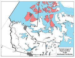
Peary Caribou Range Map

Peary Caribou Range Map

248 miles away

Near Northwest Territories
Keywords: other, wildlife, caribou
Nunavut Map

Nunavut Map

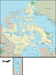
Detailed Nunavut Map, newest province in Canada

375 miles away

Near Nunavut, Canada
Central Baffin Island Map

Central Baffin Island Map

407 miles away

Near Baffin Island
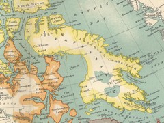
Keywords: reference, island
Baffin Island Map

Baffin Island Map

443 miles away

Near Baffin Island
Keywords: reference, island
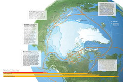
Northwest Passage Map

Northwest Passage Map

The ways travel could change if the Northwest Passage were to be re-opened

464 miles away

rated 5 by 2 people
Near Greenland
See more