Keswick Tourist Map
near Keswick, England
View Location
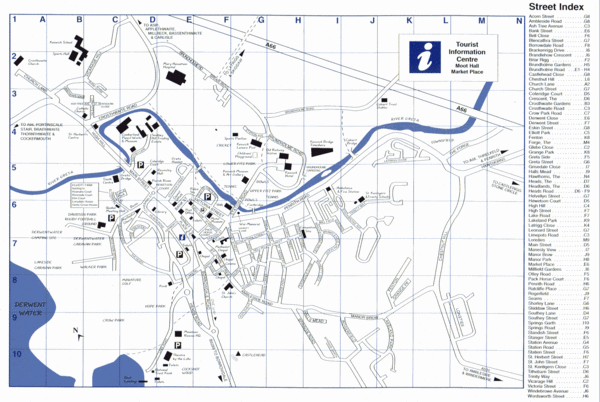
Tourist map of Keswick, England. Shows all points of interest and has a street index.
See more
 See more
Nearby Maps

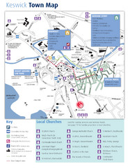
Keswick Town Map
Map of Keswick with Christian locations identified
less than 1 mile away
Near Keswick, Cumbria, UK

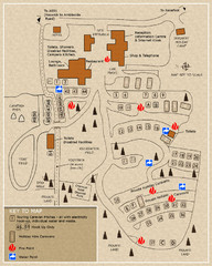
Castle Rigg Park Map
1 mile away
Near Castle Rig Park

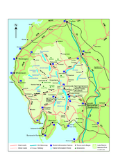
Lake District National Park Map
Detailed map marking the roads and boundaries of on of Britain's National Parks.
7 miles away
Near Lake District National Park, UK

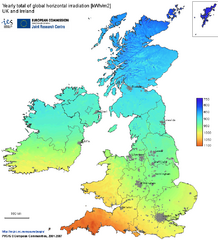
United Kingdom Solar Radiation Map
Guide to yearly total of global horizontal solar irradiation
11 miles away
Near United Kingdom

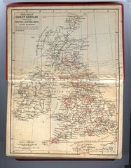
1910 Great Britain Map
16 miles away
Near United Kingdom

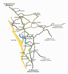
Whitehaven Wanderer Bus Route Map
18 miles away
Near Whitehaven, UK

 click for
 Fullsize


0 Comments
New comments have been temporarily disabled.