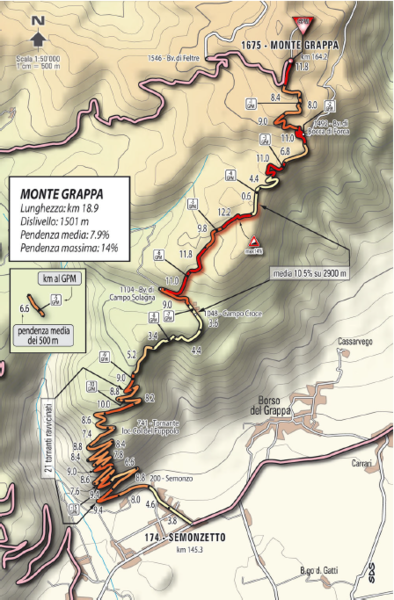
Monte Grappa Giro Stage 14 Cycling Route Map
near Monte Grappa, Italy
View Location
Cycling route of the climb up Monte Grappa in Stage 14 of the 2010 Giro d'Italia. Averages 8% gradients with maximum gradients of 14%.
See more
 See more
Nearby Maps

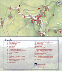
Asolo Town Map
Tourist map of Asolo, Italy. Shows points of interest, panoramic site, and touristic information...
6 miles away
Near Asolo, Italy

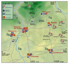
Asolo Italy Area Map
Tourist map of Asolo, Italy surroundings. Shows monuments, art centers, museums, and city walls.
6 miles away
Near Asolo, Italy

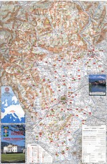
Vicenza Tourist Map
Tourist map of region around Vicenza, Italy. Shows points of interest. In Italian. Scanned.
18 miles away
Near Vicenza, Italy

Vicenza Map
24 miles away
Near vicenza, it

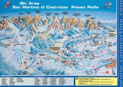
San Martino di Cartozza Ski Trail Map
Ski trail map of San Martino di Cartozza, Italy
29 miles away
Near San Martino di Cartozza, Italy

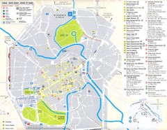
Padova Street Map
Street map of central Padova, Italy. Shows public phones.
30 miles away
Near Padova, Italy

 click for
 Fullsize


0 Comments
New comments have been temporarily disabled.