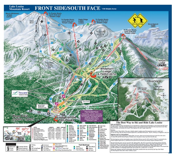
Lake Louise Ski Trail map - Front side/south face 2005-06
near Lake Louise, Alberta
View Location
Official ski trail map of the front side/south face of Lake Louise ski area from the 2005-2006 season. The Front Side has 1100 skiable acres and a vertical rise of over 990 meters. Overall, Lake Louise has 4200 skiable acres on 4 mountains. See the other trail maps for details on the other parts of the ski area.
Nearby Maps
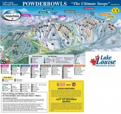
Lake Louise Ski Trail map - Ptarmigan/Paradise...
Official ski trail map of the Ptarmigan/Paradise/Back Bowls of Lake Louise ski area from the 2005...
less than 1 mile away
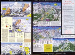
2007–08 2007–08 Ski Big 3 Side 2 (Lake Louise...
Trail map from Lake Louise, which provides downhill skiing. This ski area has its own website.
2 miles away
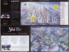
Lake Louise 2007–08 Ski Big 3 Side 1 (3...
Trail map from Lake Louise, which provides downhill skiing. This ski area has its own website.
2 miles away
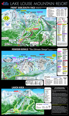
Lake Louise Trail Map
Ski area trail map for Lake Louise Mountain
2 miles away
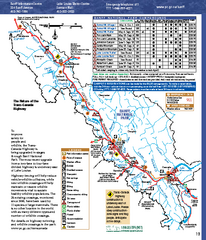
Banff National Park map
Official Parks Canada map of Banff National Park. Birthplace of Canada's national park system...
4 miles away
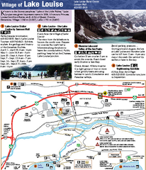
Lake Louise Area Map
Map of Lake Louise with detail of trails and recreation zones
4 miles away

 click for
 Fullsize


0 Comments
New comments have been temporarily disabled.