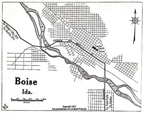
Boise Idaho 1917 Map
near Boise, Id
See more
 See more
Nearby Maps

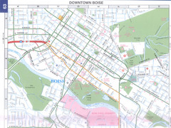
Boise, Idaho Downtown Map
Map of the downtown area of Boise, Idaho includes all streets, parks and the Boise State University.
2 miles away
Near Boise, Idaho, USA

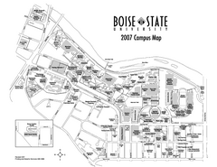
Boise State University Map
Boise State University Campus Map. All areas shown.
2 miles away
Near Boise, Idaho

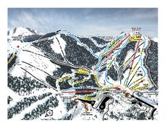
Bogus Basin Frontside Ski Trail Map
Trail map from Bogus Basin, which provides downhill, night, nordic, and terrain park skiing. It has...
12 miles away

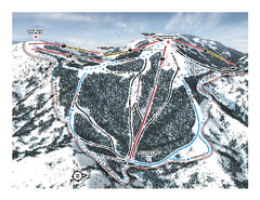
Bogus Basin Pine Creek Ski Trail Map
Trail map from Bogus Basin, which provides downhill, night, nordic, and terrain park skiing. It has...
12 miles away

Bogus Basin Ski Trail Map - Pine Creek
Official ski trail map of Pine Creek area of Bogus Basinski area from the 2007-2008 season.
13 miles away
Near 30 Bogus Creek Road 83631

Bogus Basin Ski Trail Map - Front
Official ski trail map of frontside of Bogus Basin ski area from the 2007-2008 season.
13 miles away
Near 30 Bogus Creek Road 83631

 click for
 Fullsize

0 Comments
New comments have been temporarily disabled.