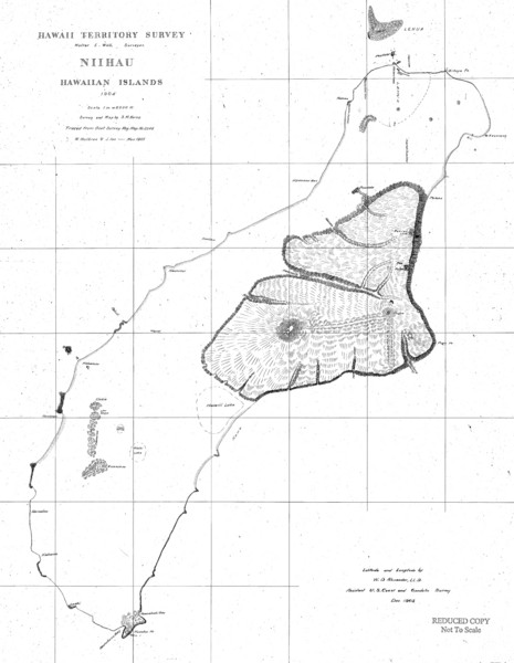
Niihau Island Map 1904
near Niihau, Hawaii
See more
 See more
Nearby Maps

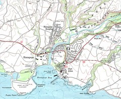
Hanapepe, Hawaii City Tourist Map
37 miles away
Near Hanapepe, HI

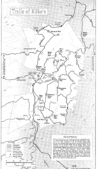
Koke'e State Park Trail Map
Trail map of Koke‘e State Park in Kauai, Hawaii. Trails include the Alakai Swamp Trail...
37 miles away
Near Koke'e State Park, Kauai, Hawaii

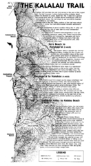
Kalalau Trail Na Pali Coast Trail Map
Trail map of the Kalalau Trail in Na Pali State Park. The trail follows the Na Pali Coast 11 miles...
39 miles away
Near Na Pali Coast, Kauai, Hawaii

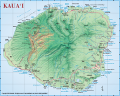
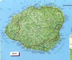
Kauai Relief Map
Shows all beaches and relief of the island of Kauai in state of Hawaii.
41 miles away
Near Kauai

Kauai Map
Map of island of Kaua'i. Shows geographical features. Scanned.
42 miles away
Near Kauai, Hawaii

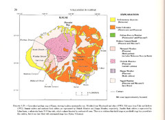
Kauai Geological Map
Geological map of volcanism in island of Kauai, Hawaii.
42 miles away
Near Kauai, Hawaii

 click for
 Fullsize

0 Comments
New comments have been temporarily disabled.