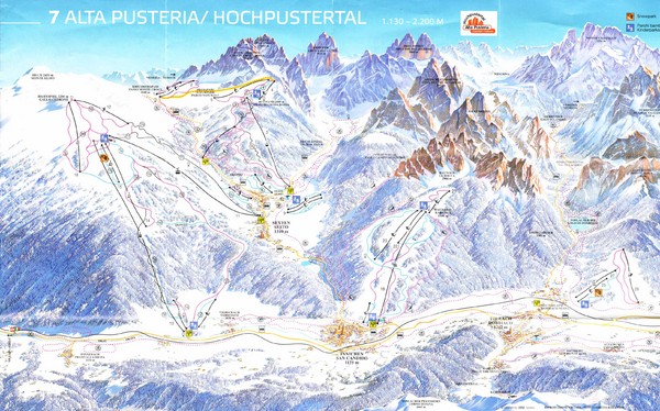
Alta Pusteria Ski Trail Map
See more
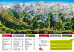
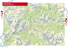
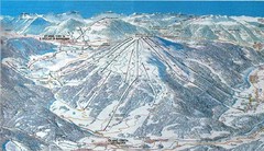
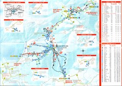
 See more
Nearby Maps

Alta Pusteria Summer Map
Panoramic summer hiking map of the Alta Pusteria, Italy, in the South Tyrol. Shows towns...
9 miles away
Near Alta Pusteria, Italy

Cortina d'Ampezzo Hiking Map
Summer hiking map of the Cortina d'Ampezzo, Italy area in the heart of the Dolomite Mountains...
13 miles away
Near Cortina d'Ampezzo, Italy

Plan de Corones Ski Trail Map
Trail map from Plan de Corones.
16 miles away
Near Plan de Corones, 39030 Mareo Bolzano, Trentino...

Plande Corones Ski Trail Map
18 miles away

Nature Fitness Park in Kronplatz Dolomiti Map
Panoramic map of Nature Fitness Park in Dolomites. The park is very well signposted and its trails...
20 miles away
Near Pfalzen

Arabba Corvara Pedraces Summer Map
Summer map of Alta Badia region in Italian Dolomites
23 miles away
Near Corvara, Italy

 click for
 Fullsize


0 Comments
New comments have been temporarily disabled.