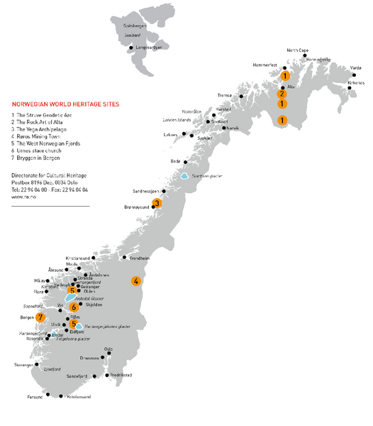
Norway World Heritage Sites Map
near Norway
View Location
Overview map of Norwegian World Heritage Sites. Includes the Struve Geodetic Arc, the Rock Art of Alta, the Vega Archipelago, Roros Mining Town, the West Norwegian Fjords, Urnes stave church, and Bryggen in Bergen.
See more
 See more
Nearby Maps

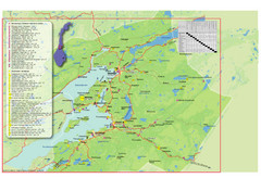
Central Norway Map
Maps covering Steinkjer - Verdal - Levanger - Inderøy in Norway. Maps show cities, rivers...
37 miles away
Near Steinkjer, Norway

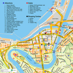
Trondheim Tourist Map
Tourist map of the center of Trondheim, Norway. Shows attractions, hotels, and shopping centers.
75 miles away
Near Trondheim, Norway

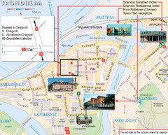
Trondheim, Norway City Map
76 miles away
Near Trondheim, Norway

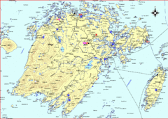
Vega Island Map
85 miles away
Near Vega, Norway

Selbu Norway Area Map
86 miles away
Near Mebonden, Norway

ARE Ski Resort in Sweden Map
Ski run, lifts and mountain elevations for the ARE Ski Resort in Sweden. Note: The map is in...
94 miles away
Near are, sweden

 click for
 Fullsize

0 Comments
New comments have been temporarily disabled.