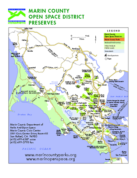
Marin Open Space Preserves Map
near Marin County, CA
See more
 See more
Nearby Maps

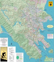
Marin, California Bike Map
0 miles away
Near Marin, CA

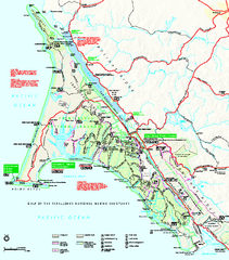
Point Reyes National Seashore Map
Official NPS map of Point Reyes National Seashore in Marin County, California. Shows trails, roads...
4 miles away
Near Point Reyes National Seashore, California

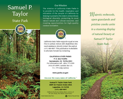
Samuel P. Taylor State Park Map
Map of park with detail of trails and recreation zones
4 miles away
Near Samuel P. Taylor State Park, Lagunitas, CA

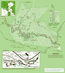
Samuel Taylor State Park Trail Map
Trail map of Samuel Taylor State Park near Lagunitas, CA.
5 miles away
Near Samuel Taylor State Park, Lagunitas, CA 94938

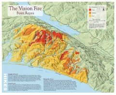
Point Reyes Vision Fire Map
Map of the burn intensity of the 1995 Vision Fire in Point Reyes National Seashore.
5 miles away
Near Point Reyes, CA

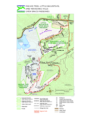
Indian Tree, Little Mountain, and Verissimo Hills...
7 miles away
Near little mountain, novato, ca

 click for
 Fullsize

0 Comments
New comments have been temporarily disabled.