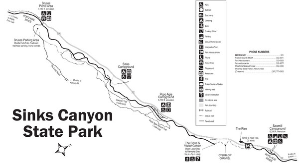
Sinks Canyon State Park Map
near Sinks Canyon State Park, Wyoming
View Location
Sinks Canyon State Park offers hiking trails, abundant wildlife viewing, bird-watching, fishing, and the Sinks and the Rise, a geological phenomenon.
See more
 See more
Nearby Maps

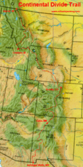
Continental Divide Map
47 miles away
Near huston park

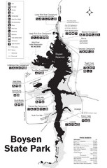
Boysen State Park Map
48 miles away
Near Boysen State Park, Wyoming

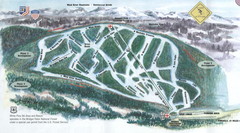
White Pine Ski Area Ski Trail Map
Trail map from White Pine Ski Area.
52 miles away
Near Wyoming, United States

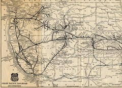
1925 Union Pacific Railroad Map Part 1
Guide to the Union Pacific railroad lines across the western half of the United States
60 miles away
Near US

Hot Springs State Park Map
Enjoy our soothing waters, views of the unforgettable bison and some of the loveliest flower...
68 miles away
Near Hot Springs State Park, Wyoming

 click for
 Fullsize


0 Comments
New comments have been temporarily disabled.