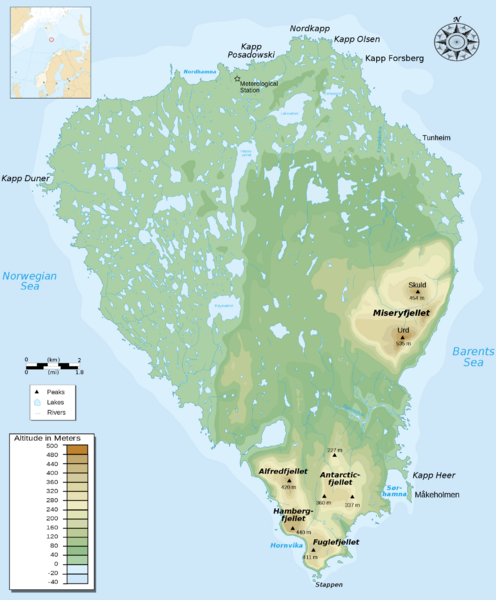
Bear Island Bjørnøya Norway Map
near Bjørnøya Island, Norway
View Location
Elevation map of Bear Island, Norway (Bjørnøya) in the Barents Sea, the southernmost island of the Norwegian Svalbard archipelago
See more
 See more
Nearby Maps

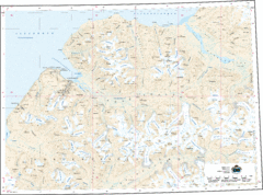
Longyearbyen Area Topo Map
Topo map of area around Longyearbyen, Svalbard Islands
269 miles away
Near Longyearbyen, Svalbard

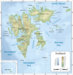
Svalbard Physical Map
Physical map of Svalbard, Norway. The northernmost part of the kingdom of Norway. Shows ice...
302 miles away
Near Svalbard, Norway

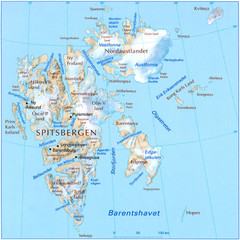
Svalbard islands topo Map
308 miles away

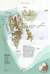
Svalbard's Ebbing Ice Map
314 miles away
Near svalbard norway

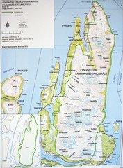
Lyngen Peninsula Map
Topo map of the northern Lyngen Peninsula near Tromso, Norway. Shows peaks. From photo.
325 miles away
Near Lyngen, Norway

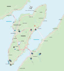
Tromso Overview Map
Overview map of Tromso, Norway island. Shows major roads and streets.
330 miles away
Near Tromso, Norway

 click for
 Fullsize


0 Comments
New comments have been temporarily disabled.