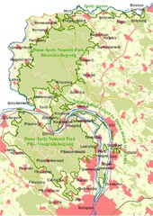
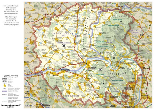
Duna-Ipoly Nemzeti National Park Map
near Duna-Ipoly Nemzeti Park, Hungary
View Location
Reference map of Duna-Ipoly Nemzeti National Park and surrounding area north of Budapest, Hungary
See more

 See more
Nearby Maps

Duna-Ipoly Nemzeti Park Map
Overview map of Duna-Ipoly Nemzeti Park (Danube-Ipoly National Park) north of Budapest, Hungary
12 miles away
Near Duna-Ipoly Nemzeti Park, Hungary

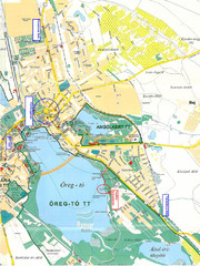
Tatai Öreg-tó Map
16 miles away

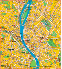
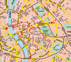
Local Budapest Tourist Map
Stores, main streets and locations in Central Budapest
27 miles away
Near Near Budapest

Budapest Tourist Map
27 miles away
Near Budapest

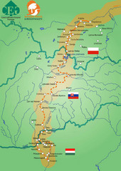
Amber Trail Budapest-Krakow Map
Amber Trail map showing the trail from Budapest to Krakow where you will see several heritage sites.
27 miles away
Near Budapest

 click for
 Fullsize

0 Comments
New comments have been temporarily disabled.