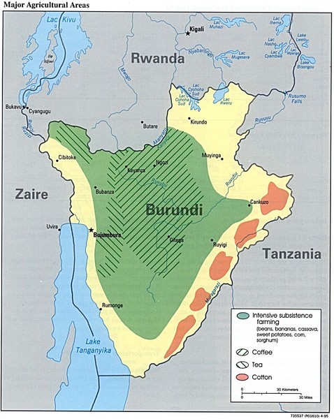
Burundi Agricultural Map
near Burundi
See more
 See more
Nearby Maps

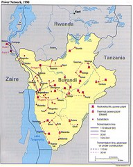
Burundi Power Plant Map
Map marking hydroelectric and thermal power plants, plus transmission lines.
14 miles away
Near Burundi

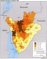
Burundi Population Density Map
Map of Burundi's population density by commune
14 miles away
Near Burundi

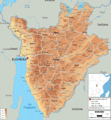
Burundi Physical Map
14 miles away

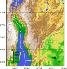
Burundi Topography Map
Color-coded physical relief map of country of Burundi
22 miles away
Near Burundi

Burundi Political Map
24 miles away

 click for
 Fullsize

0 Comments
New comments have been temporarily disabled.